On a recent family holiday to Benalmádena I had the opportunity to have a quick run up Mount Calamorro, part of the coastal Sierra de Mijas mountain range in the Costa del Sol region of southern Spain.
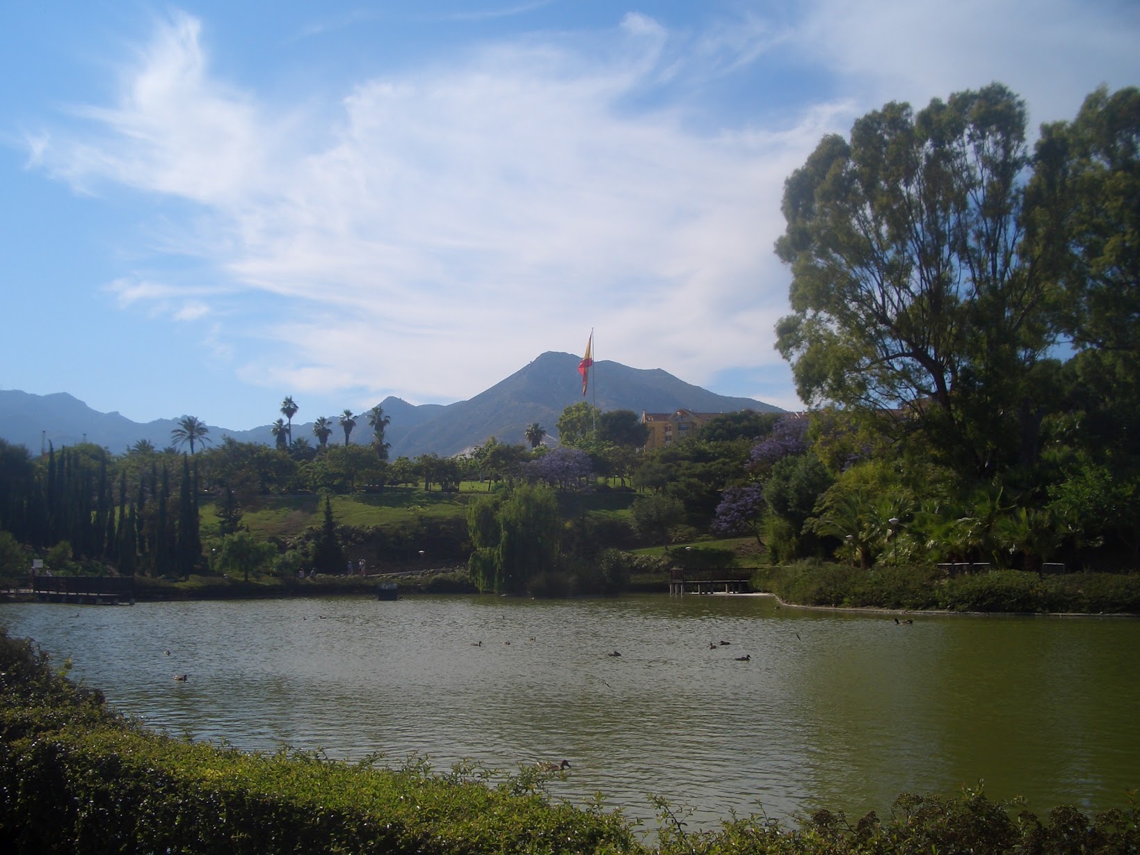
At only 771 metres high, it was far lower than most of the Tour du Mont Blanc that I tackled last year, however it was a pleasant surprise to have the chance to go up as I was only expecting to have a simple “bucket and spade” holiday with my lovely wife and kids; fortunately I had packed my running shoes!
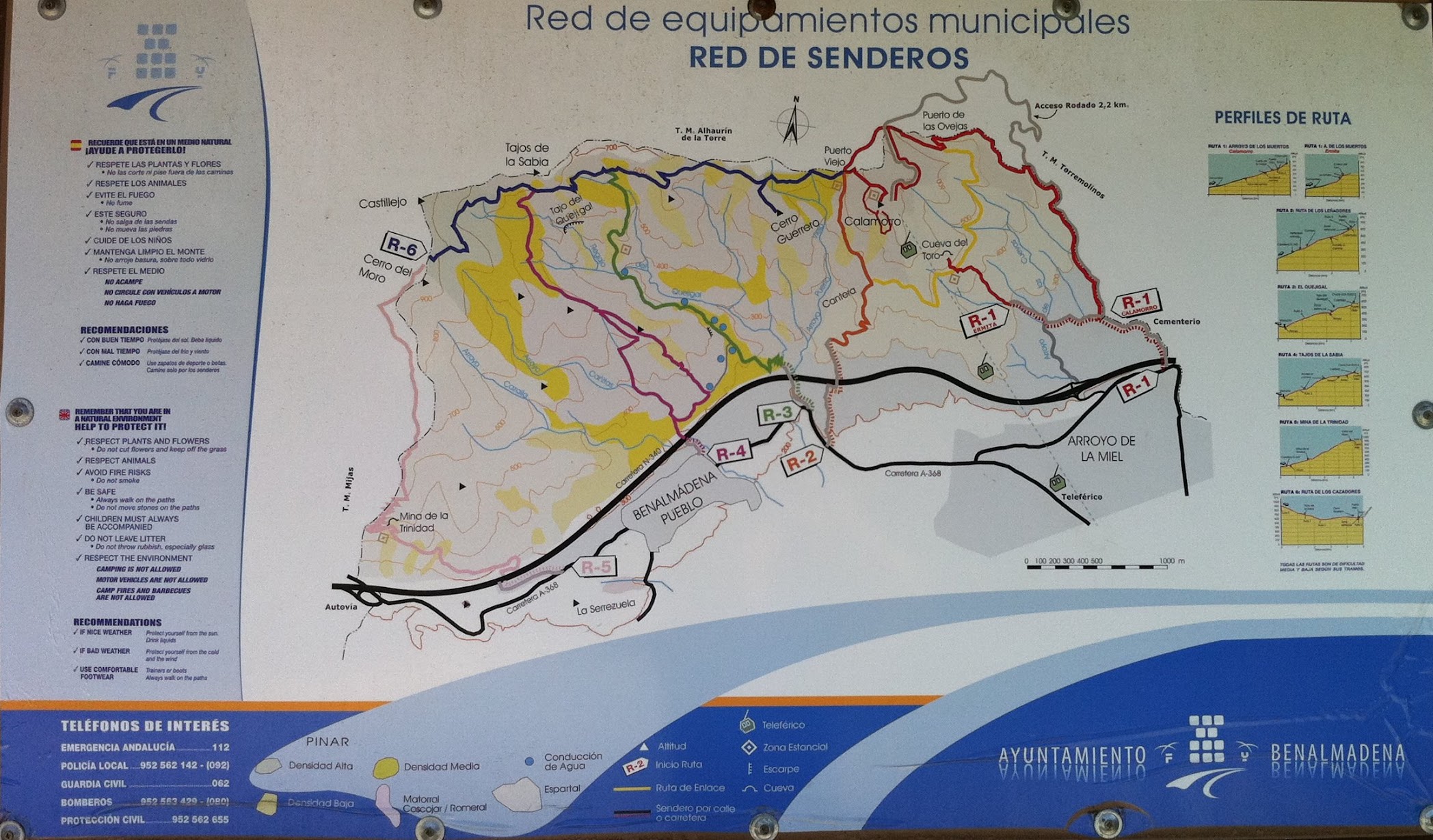
The trail map to Mount Calamorro, Cerro del Morro and a few other treks in the municipality can be seen on a board just by the start of the cable car, Teleférico Benalmádena, which is where I left the family and set off.
After deciding to do Route One direct to Calamorro, I initially found two slightly baffling things. First that Route One was actually two trails to different destinations and second that it was a couple of unmarked kilometres through the streets of Benalmádena to the trail head; fortunately I had my iPhone with me.
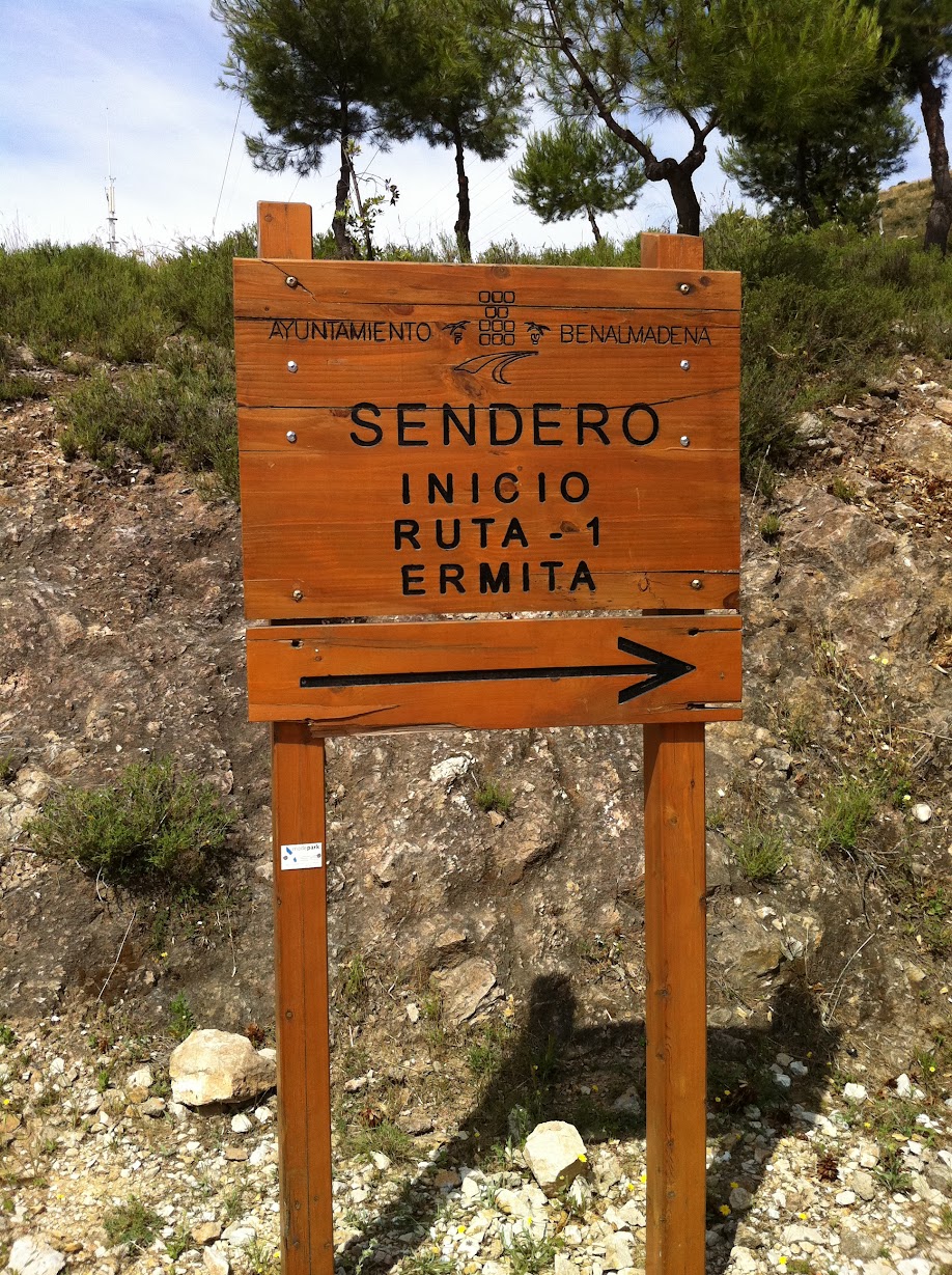
I finally made it to the official start of the trail just under the E-15 motorway, about one mile by my Garmin, which luckily is marked with a big wooden route board, however the board adds further confusion by not mentioning the Calamorro at all. It only mentions the other destination that Route One takes you to, Ermita.
However I had noticed that both trails went past the cemetery which was sign posted further up the trail. I ran the half mile or so up the road, past the cemetery and local tip (!) to the junction of a very new neighbourhood that looked only recently built with very low occupancy.
This is where the fun began. At the junction were two signs, the first I came to was a route map exactly like that near the Benalmádena cable car and on a reasonably well made, but clearly small, tarmac road. The second was another reddish wooden route board, proudly proclaiming that Route One was straight up the hill on its suburban street.
What should I do? My heart said follow the small road; surely this was the access road the map had promised. My head said no, surely they would mark the split, would come right out and say this is the way to Monte Calamorro. Wouldn’t that make sense? I forgot, in short, what country I was in, and followed the wooden Route board. Mistake one.
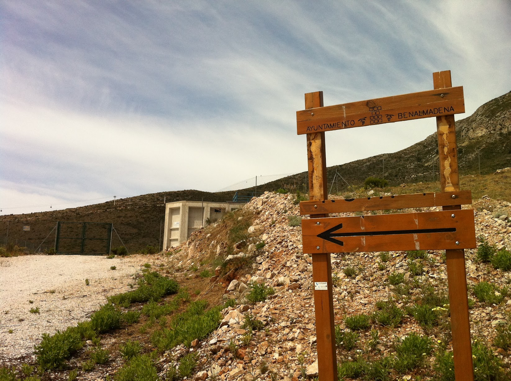
Following the residential street up, after about a third of a mile I came to another trail map, turned right up a dusty track and felt vindicated, yes my head was right. A few minutes on I came to another reddish wooden route sign. But wait this one was broken and what was left of it was clearly pointing me to go through a track blocked with barbed wire. Hmmm. Maybe its round the back of this big white building I thought and thus began a 10 minute waste of time rounding the building and walking through the scrub to no avail. Mistake two.
I eventually got back to the last route marker, realising why some fellow wanderer had attempted to dismantle it, then went back to the last trail map and turned right down the hill to find another way up. Final mistake.
After about a mile and another wasted ten minutes I returned to the junction to find a runner coming down the access road and after a quick nod to my “top of Calamorro” question I was back on route, 30 minutes behind and about 2 miles of extra road under my feet, but back on route!
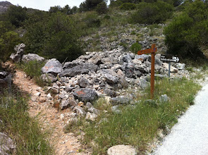
From here the route was easier to find after nearly a mile of fairly boring, but well tarmaced road I came to a red arrow pointing up a trail, and a mountain biker hurtling down it towards me in a cloud of dust. He confirmed with a thumbs-up that I was, at last, on the right track, and was gone. I climbed on up the gorge, a little envious of the man going the other way.
The path was well kept and clear to follow, apart from what looked like a small and relatively recent landslip, which I picked my way around. The running was easy enough, if sandy in places, and I could feel my shoes slowly filling with the mountain.
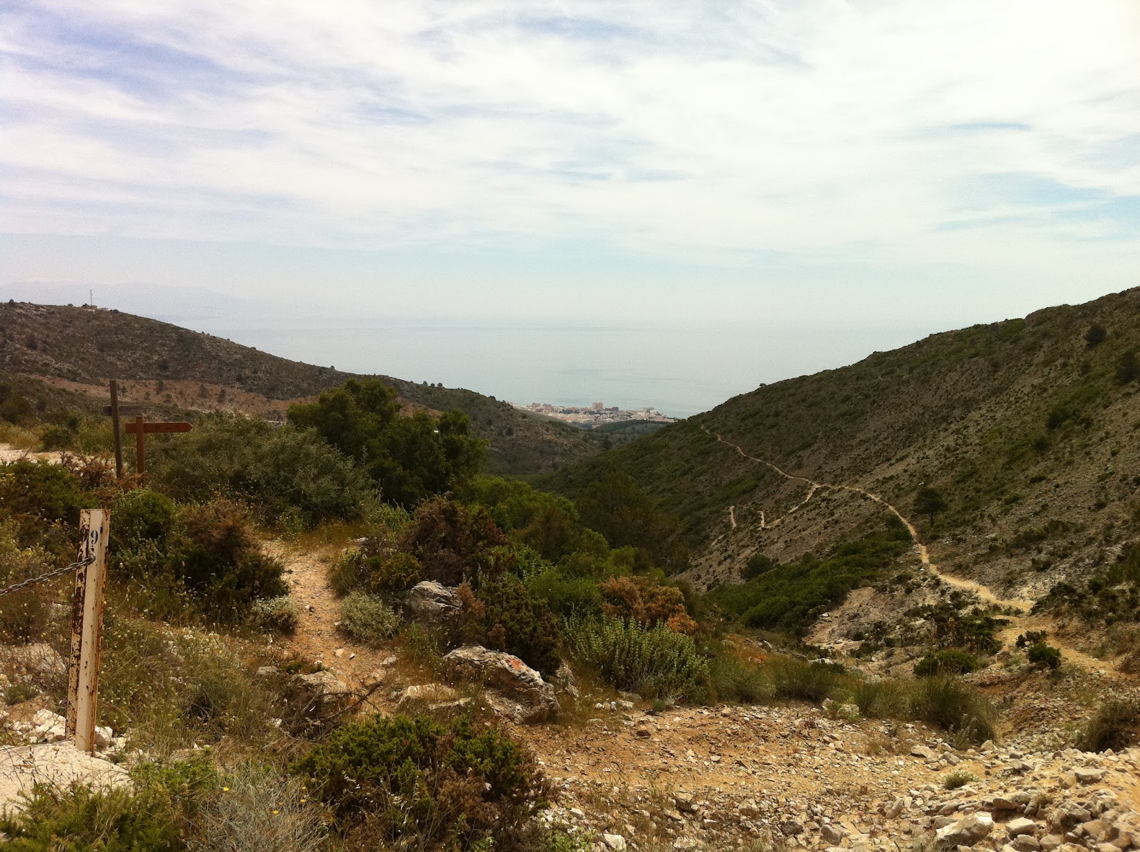
After another three quarters of a mile I joined up with Route Two, which I remembered from the trail map also continued to summit Mount Calamorro.
Another quarter of a mile and this joined up again with the access road and was tarmac again for the half mile up to the top station of the Teleférico Benalmádena with the summit a short jog up rocky steps with handrails.
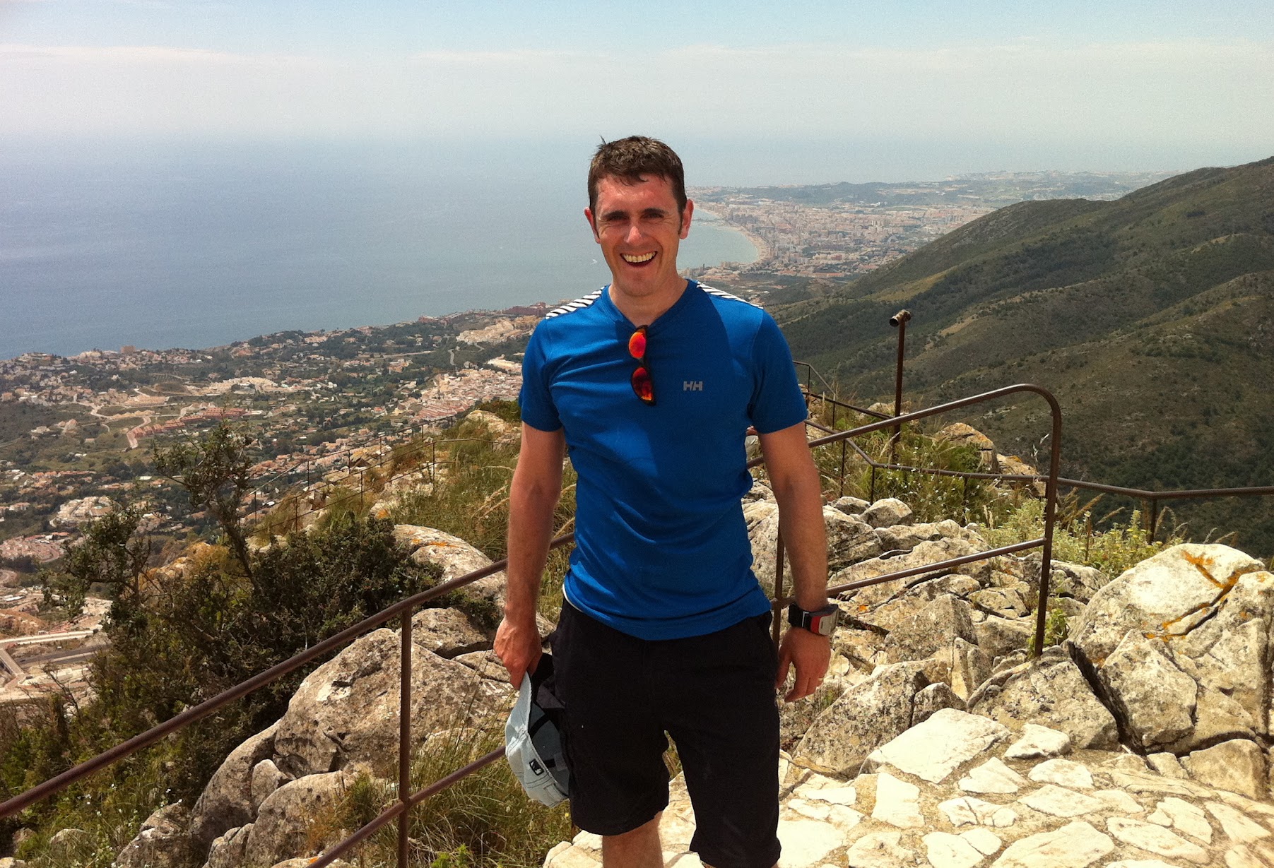
Diversions aside, I had run up a mountain on my birthday, which I was quietly pleased about.
Calamorro is not a massive test or a hugely exciting trail by any stretch of the imagination, but the views along the Costa del Sol from the summit certainly make up for it.
I was lucky enough to share these views with my wife and our three and five year old in the cable car on the way down; pointing out to them the downhill cyclist coming back up in the Teleférico for another go.
The walk
| Distance | 9.4 km (5.8 miles) |
| Ascent | 740 m |
| Summit | Mount Calamorro, 771 m |
| Route | Benalmádena up to the summit; cable car down |
| Part of | Sierra de Mijas, Costa del Sol, Spain |
| Terrain | Suburban streets, dusty mountain track, tarmac access road |
| Of note | Run on my birthday; ~2 miles of detours from baffling Route One signage |